

Drone Surveys, CGIs & Animations
CGIs & Animations
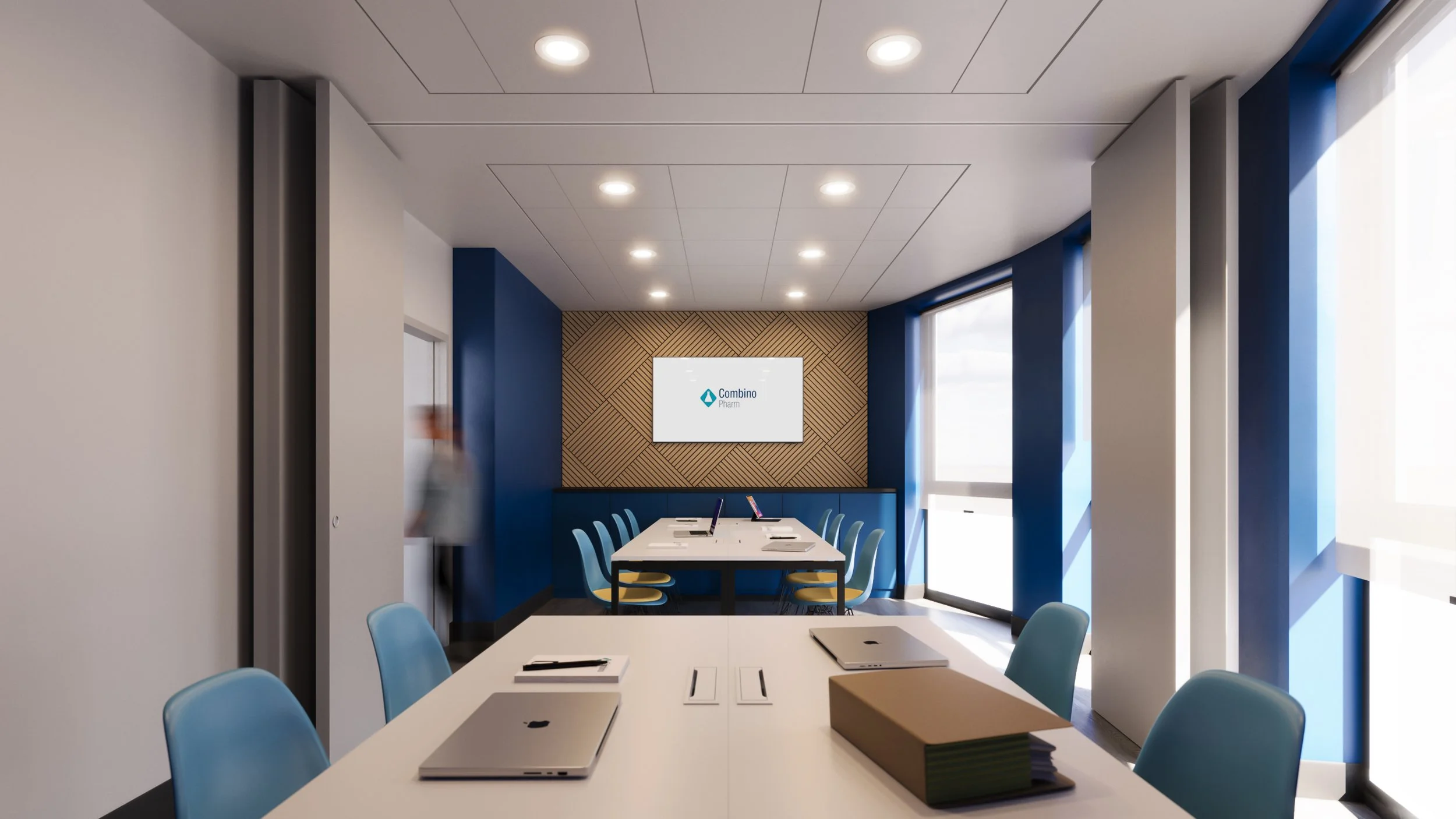
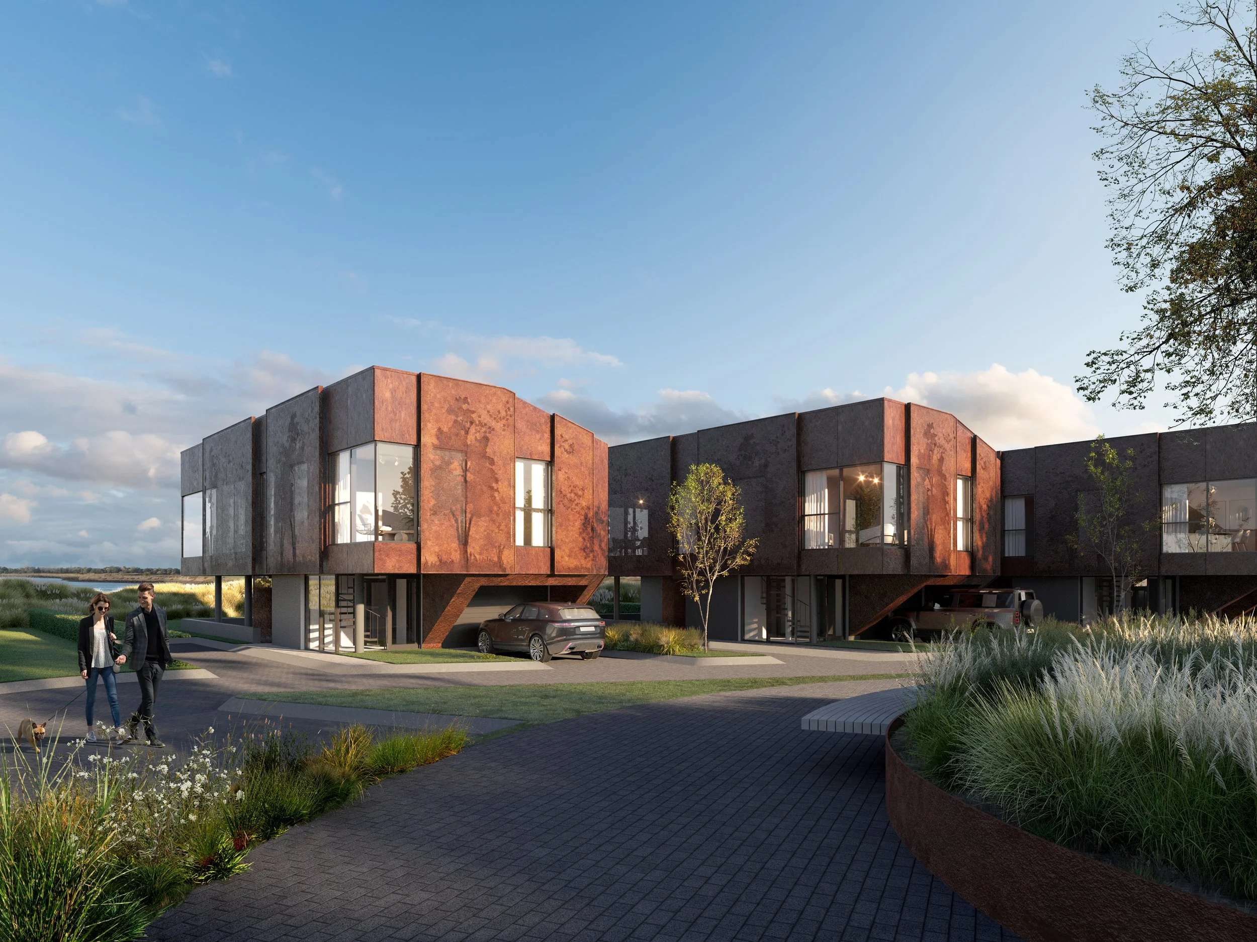
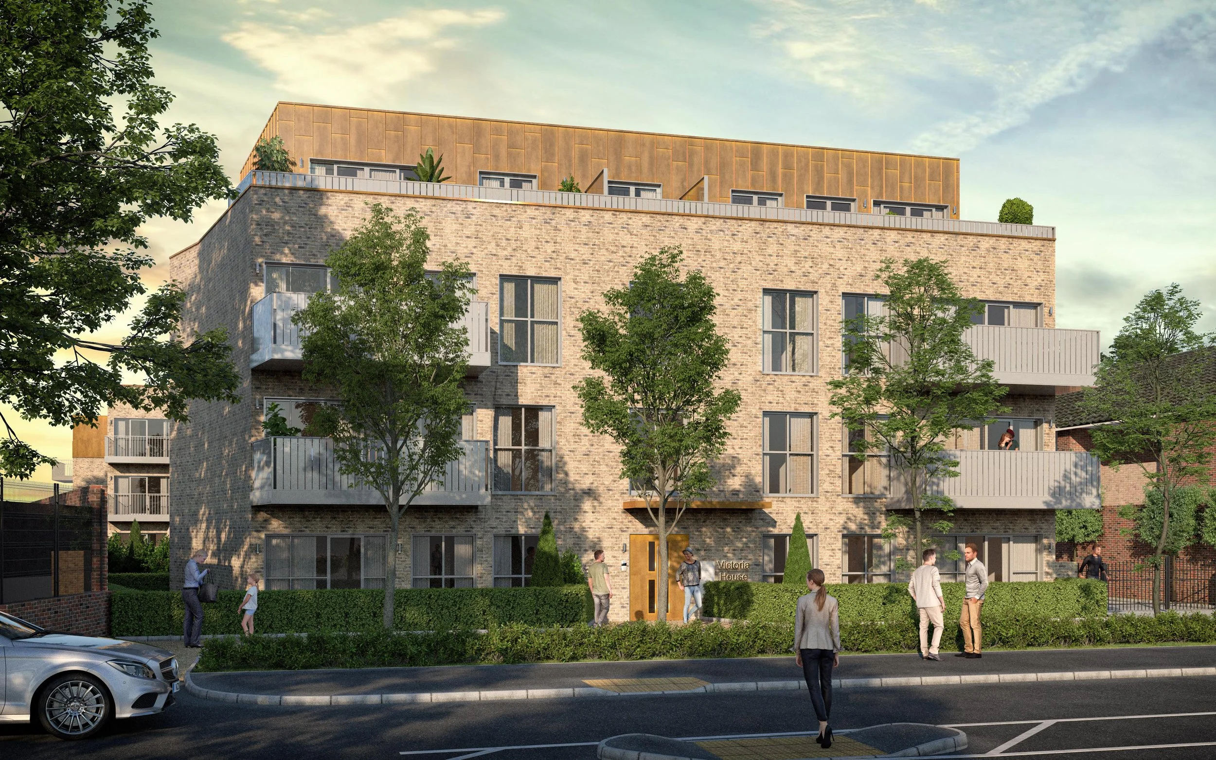
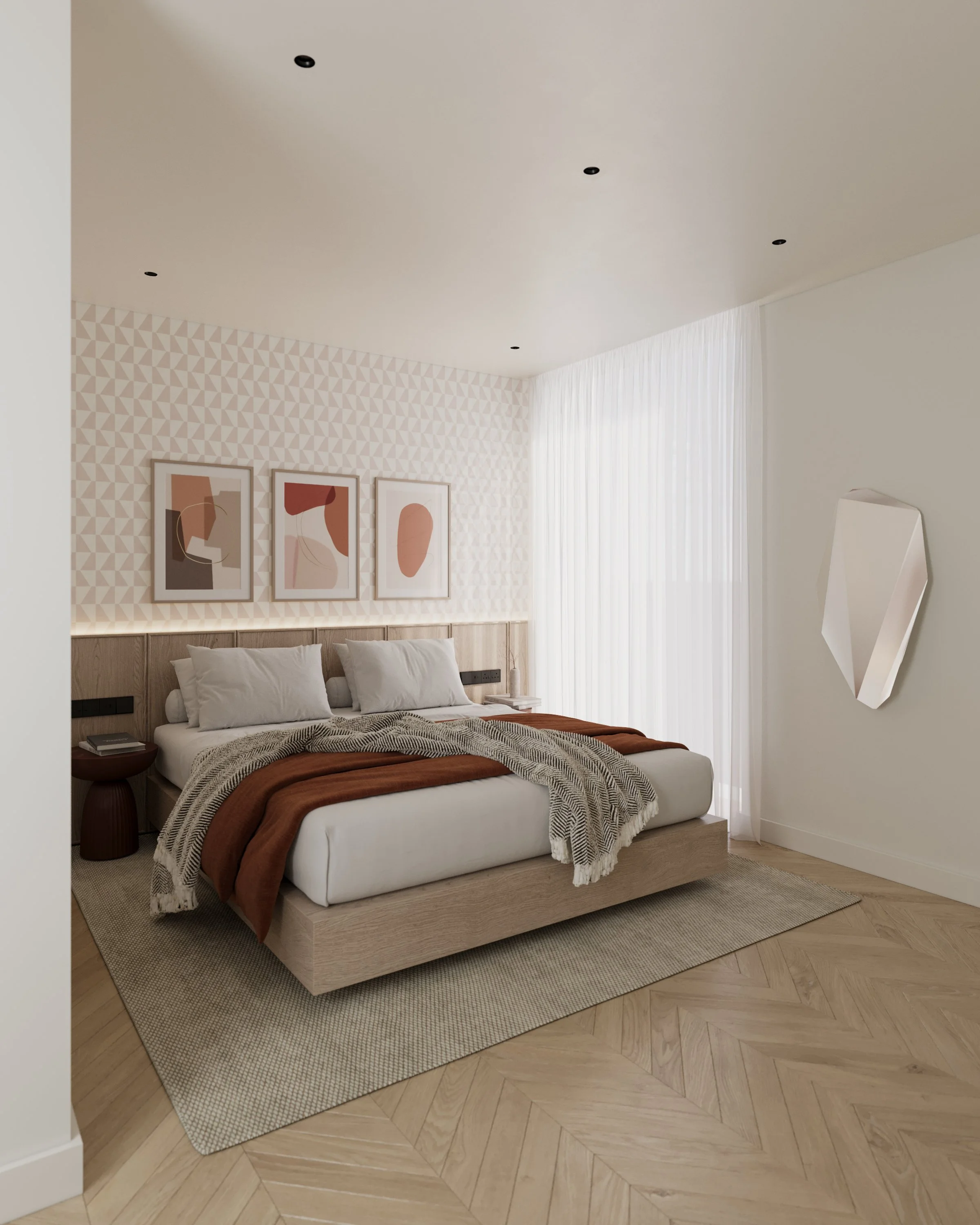
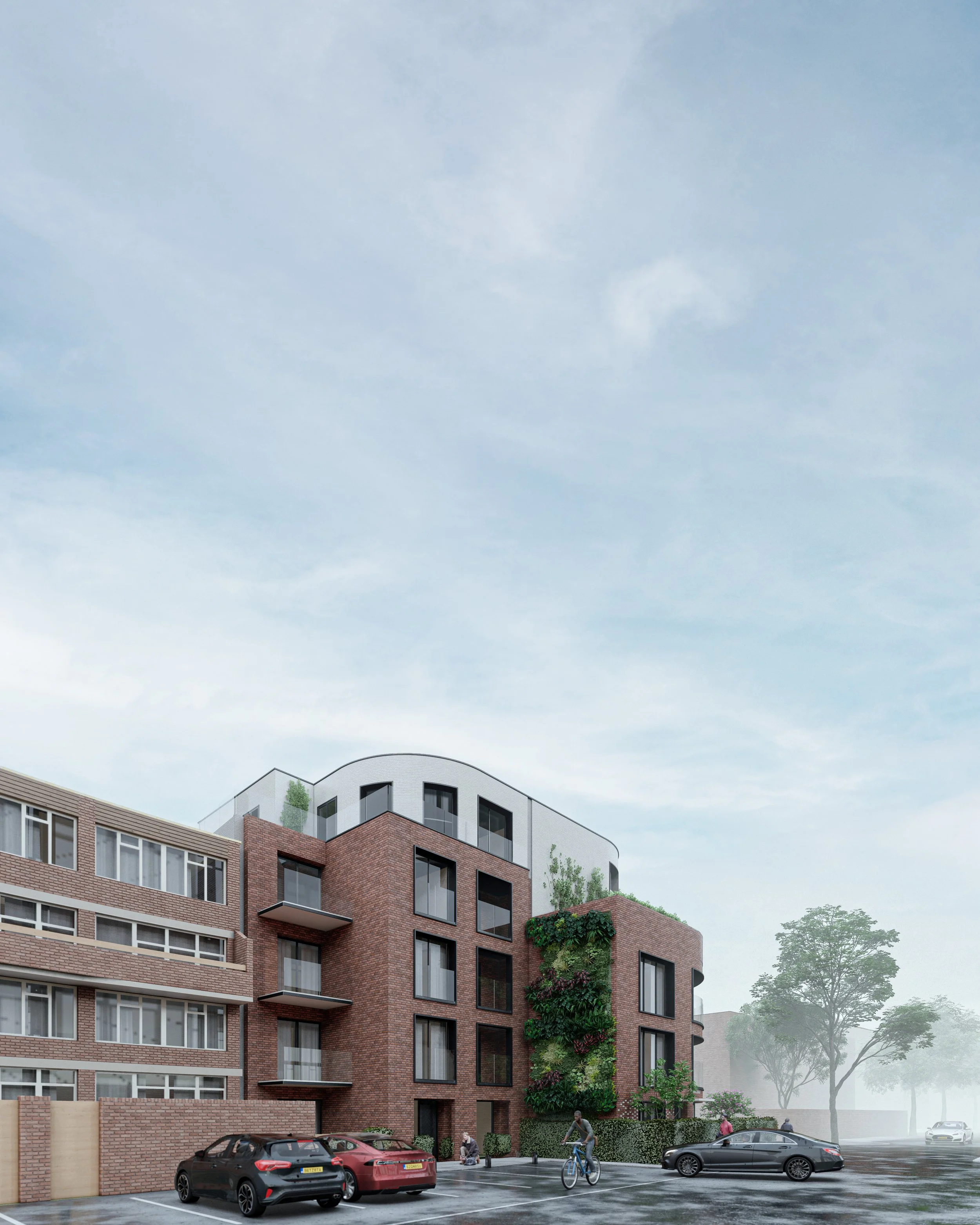
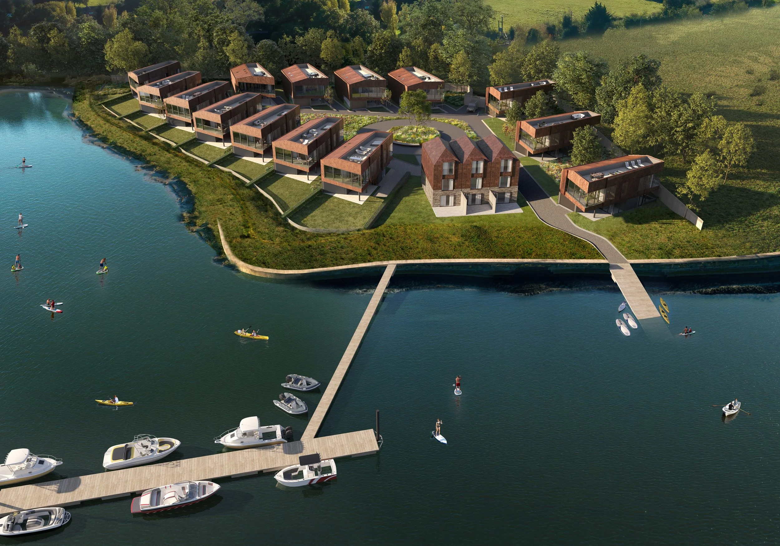
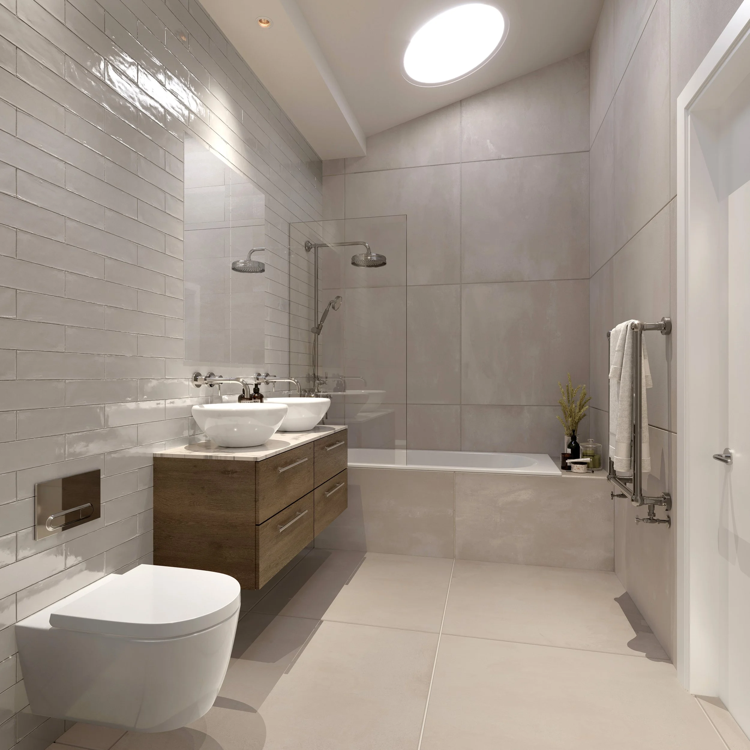
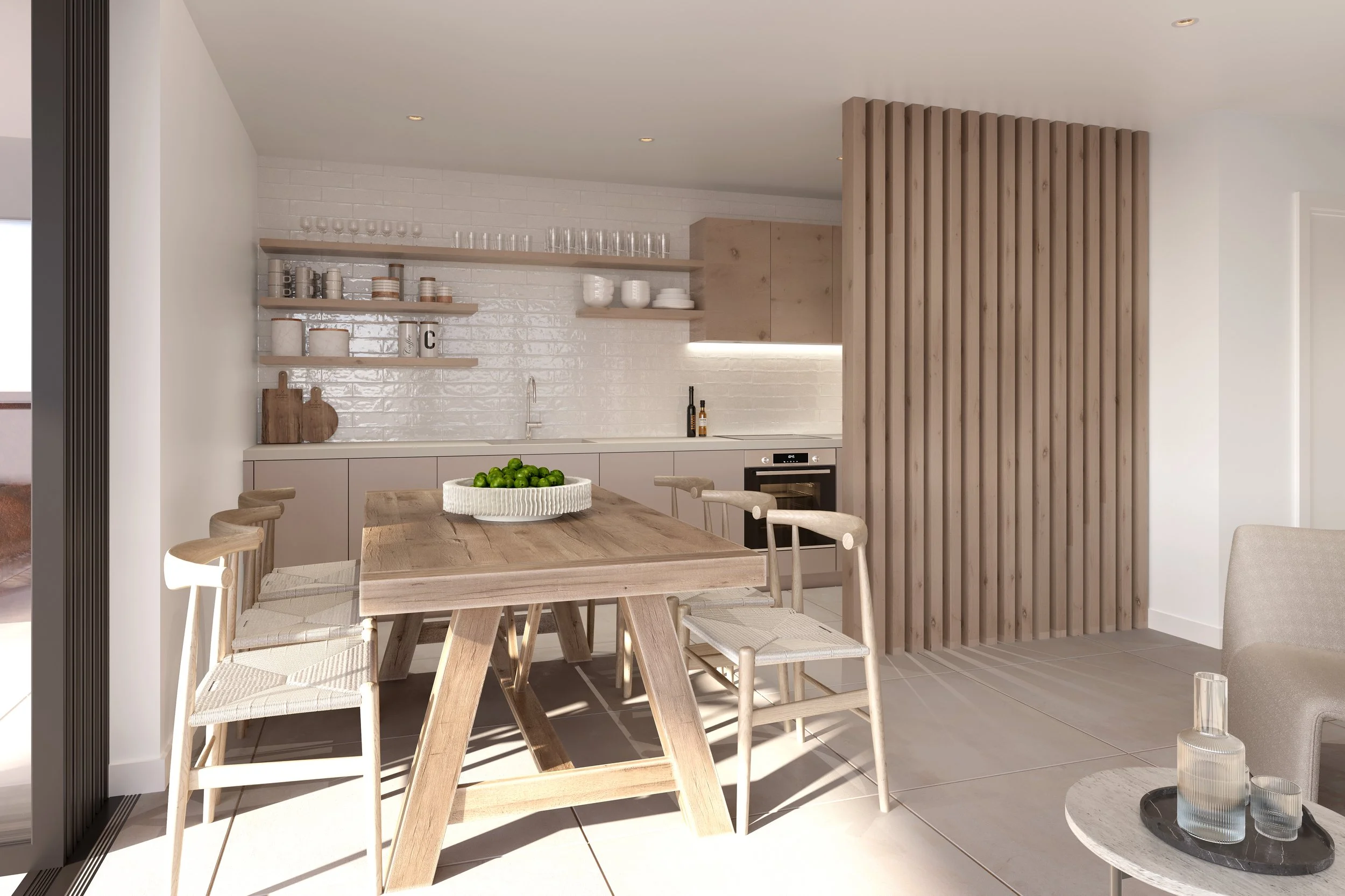
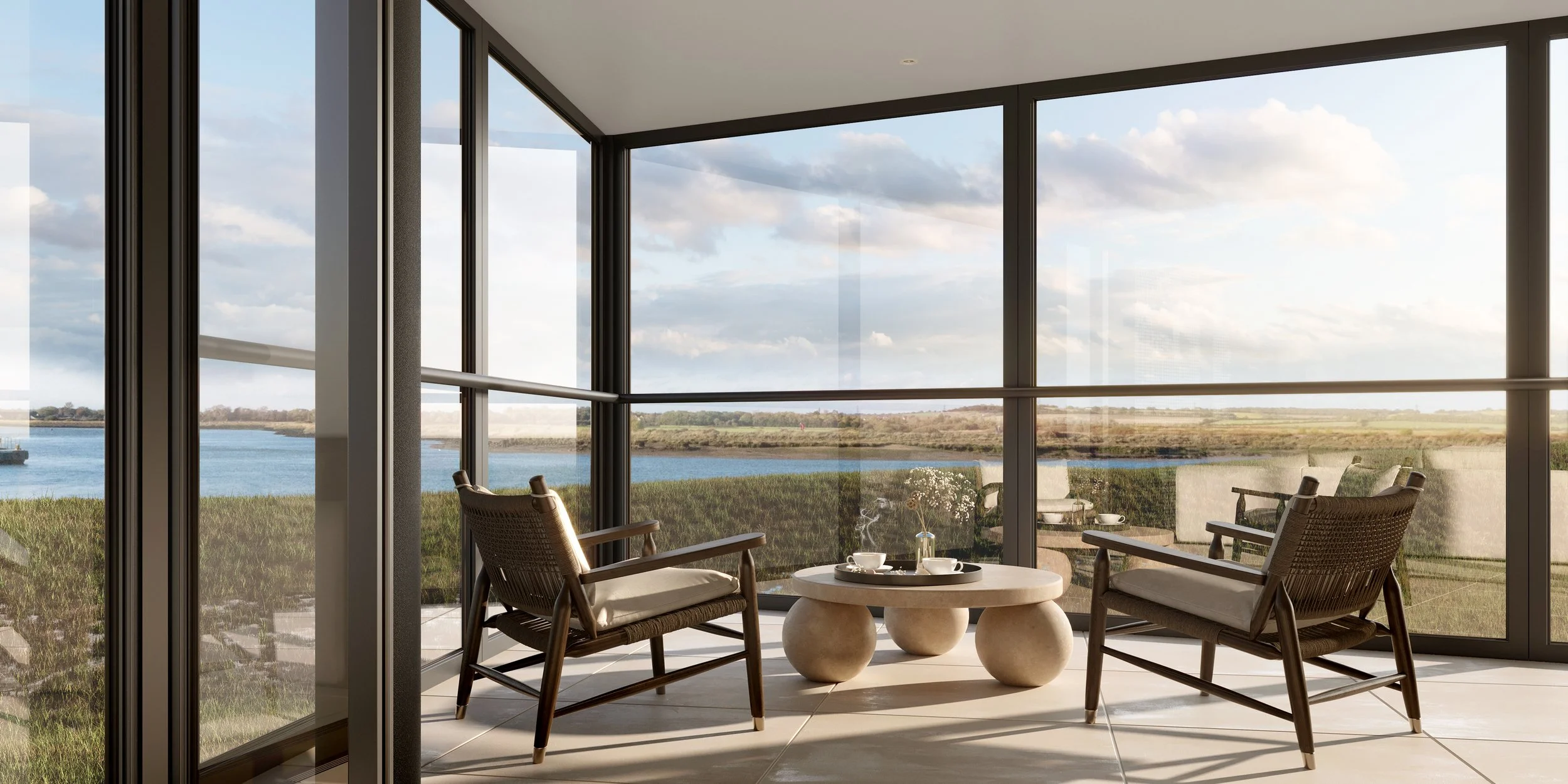
CREATE produces CGIs and animated CGI graphics whether it is for selling/marketing properties or visualising the finalised architectural scheme.
We use bespoke high-resolution textures, using local materials taken from the camera, to create seamless textures for the CGIs that can be populated with realistic-looking images and decorative backdrops to suit all situations. CREATE also provides live interactive models that be explored via a web browser or VR.

Drone Surveys
CREATE can conduct site surveys by drone, which get processed in-house and registered to Government Point cloud data.
Light Detection and Ranging (LiDAR) is an airborne mapping technique, which uses a laser to measure the height of the terrain and surface objects on the ground such as trees and buildings. We would always recommend a measured survey to be undertaken.Our CGIs, Animations & Drone Surveys Services
We provide a bespoke service tailored to your needs to realise your development vision.Static or Animated CGI
Drone Survey - Light Detection and Ranging (LiDAR)
Live Interactive Models - Web Browser & VR